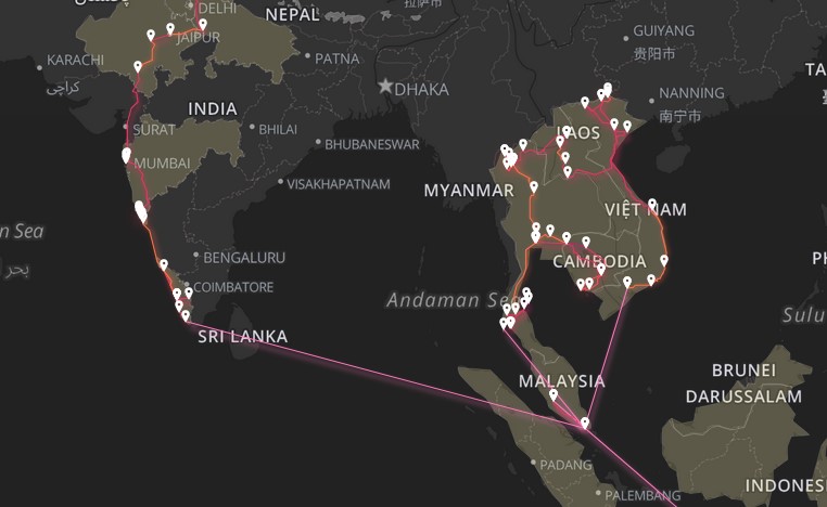
Travel Maps
A world tour in numbers

A small project to vizualize location data from my 2022-2023 year of travels through Asia. It uses Leaflet for mapping, and the True-Way API for geolocation and calculating routes and distances between locations. To reduce API calls, and improve performance on the main site, I separated the calculation and display into two steps. The data is calculated using True Way, Python and GeoPy. This creates a large GEOJSON file that is parsed and displayed on the site. The design follows a simple neon glow in the dark aesthetic, using css-dropshadows and keyframe animations to create the lively glow effects of the paths.